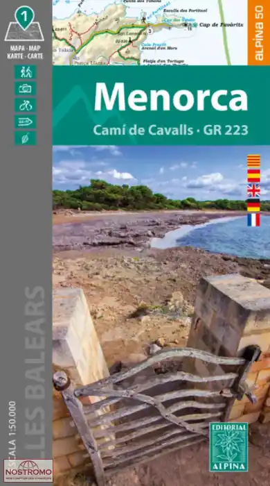

Titelinformatie
Routes ingetekend. Symbolen voor campings, berghutten en logies en toeristische info. Met een boekje met (route)beschrijvingen.
Book Language: Spanish, English, German
– Hiking map and guidebook
– Scale 1:50.000
– Equidistance contours: 20 m distance
– Master contours: at 100 m
– Shady relief
– Compatible with GPS
– Marked routes
– Land use symbolized at three levels