
Titelinformatie
Fijn getekende kaart; hoogtelijnen en schaduwing zorgen voor een realistisch beeld van het reliëf. Daarnaast symbolen voor overnachtingslocaties, plus natuurlijk het complete wegennet.
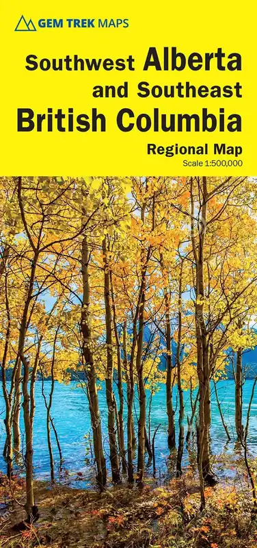
The sixth edition of this popular 1:500,000-scale map covers Edmonton and Calgary, south to the U.S. border, and west as far as Jasper National Park in the north and Castlegar, in the B.C. Kootenays, in the south.
All the major highways are shown, as well as national and provincial parks and wilderness areas. The map also shows lesser-known back roads, and pinpoints the location of lodges, campgrounds and hot springs. Mileage charts on the front and back provide distances between major towns and cities.