Titelinformatie
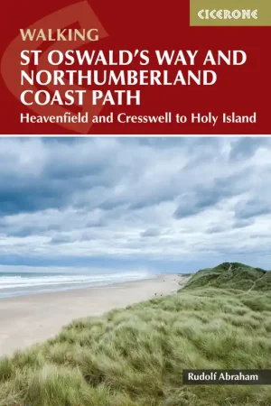
Gedetailleerde kaart van de route, aangevuld met praktische info voor onderweg (m.n. overnachtingsmogelijkheden). Op watervast materiaal. *** Information on finding accommodation, camping, food. Directions to the start. Also Ranger Service contact numbers and enlargements of towns/villages showing facilities available and tips on weather and clothing. Detailed mapping, full legend. National Grid – can be used with GPS. 1:40,000 scale. Waterproof. Supplied in clear plastic pocket. *** Titel maakt deel uit van ons assortiment Wandelkaarten Groot-Brittannië.